This was my second trip to the North West of the Continental United States, this time to the State of Washington – The Evergreen State. My plan was to drive through the scenic byways in Washington, mainly Pacific Coast Scenic Byway – Washington, North Cascades Scenic Highway in the Cascade Loop. The road trip was supposed to happen after I met family and friends in Seattle, WA and a quick visit to my brother’s place in Roseburg, OR. I have included the link to the pictures at the bottom of the article.
I started on 27th May 2010 from home Danbury, CT reached Seattle, WA at about 10 am. I rented a Ford Edge from Budget and was very happy with the vehicle which was close to brand new with only 250 miles on the odometer. After meeting with few friends and family members I set off to Roseburg, OR the next day. I wanted to take the Pacific Coast Scenic Byway, so took the I5 North and drove up to the Ferry Dock in Edmonds, WA leaving behind the Seattle Metro Area to take the Edmonds-Kingston Ferry across the Puget Sound. The 25 minutes on the Ferry was unforgettable, this was my first trip on a ferry in the US and enjoyed every bit of it and also got a taste of the wet conditions in Washington. I stood at the bow for a few minutes and it felt like as though I was inside a jet turbine only that it was icy and wet. After this eventful trip on the ferry I took the SR 104 to enter the Olympic Peninsular. As soon as I entered the peninsular it started to rain and by the time I reached the US 101 the downpour became heavier but I was still optimistic and pushed on till Port Angeles by then it was pouring down and visibility was very poor. I made a decision not to take the Pacific Coast Highway and go to Roseburg, OR via I5 South. The I5 drive just over 400 miles was uneventful; I made it to Kumar Anna’s place at about 10 pm safe and sound.

After visiting Kumar Anna in Roseburg, OR I was back on the road on 30th May by 2 pm I was in Burlington, WA entering the SR 20 or North Cascades Scenic Highway this highway has been called "The Most Beautiful Mountain Highway in the State of Washington". First stop was for Gas and Coffee in a lazy town called Marblemount, WA. I saw a BBQ restaurant made out of a Rail Road Coach; this little town of Marblemount is called the Gateway to the American Alps. The route follows the Skagit River and the drive is spectacular passing through jagged mountain peaks and roadside communities. The alpine meadows filled with colorful wild flowers, mountain views, snow covered peaks and the crystal clear lakes formed by the Gorge, Diablo and Ross lakes are so emerald green you won’t want to take your eyes off them.

Washington Pass (elevation 5477 ft.) on the North Cascade Highway is magnificent! This pass is closed for 8 months in a year and receives about 20 feet of snow in a year. As the highway swings through the pass, great walls of granite sweep upward, dead ahead Liberty Bell Mountain seems to block any passage through the mountain fortress. Just when it seems impossible, the highway makes a great horseshoe bend to face The Liberty Bell. The off-road viewpoint at the top of the pass provides splendid views of the mountain ringed valley. After taking in all the beauty the mountains had to offer I started downhill through the North Cascades National Park. By the time I reached the plains in Lavenworth, WA it was dark and I took US 97 to reach I90 to make my night stop at a RV Park in Ellensburg, WA.

31st May, I started early I was on the road by 6 am and I wanted to see the dry plains of North Central Washington and gorges of the Columbia River and this route took me to the first stop of the day “The Ponies” vantage point with a great view of Vantage Bridge crossing the Columbia River and the Wild Horses Monument. I wanted to walk up to the ponies but there was a sign board that read “Watch Out For Rattle Snakes” and I was not prepared for Rattlers, though I wore a boot with steel toe I was there all alone and was not worth that risk. After stopping at Mosses Lake, WA for breakfast I started North towards Soap Lake, WA through dry grass lands which were once the home of large heard of wild horses. The water in Soap Lake has high mineral content and along with the mud it is known for its healing powers. The first layer of Soap Lake is made up of mineral water, the second level is mud-like and consists of a stronger mineral and microscopic life forms. The lake’s two layers have not mixed in thousands of years. I just had a chance to put my feet in the Soap Lake.

Next Stop was the Dry Falls (World’s Greatest Water Fall without Water) which is thought to be the greatest known waterfall that ever existed. At its peak during the last Ice Age it is estimated that the flow of the falls was ten times the current flow of all the rivers in the world combined. From here I drove to The Grand Coulee Dam which is largest concrete structure in North America and fifth largest producer for Hydro Electricity in the World. I drove further North through the beautiful Colville Indian Reservation; very sparsely populated I had to drive for 3 hours before finding a small family run coffee shop setup outside their house. After this great drive though valley on SR 155 (Washington 155) I reached Omak, WA and decided to rest for the night at Omak Inn.

1st June, checked out early at about 7 am had breakfast and started driving south toward the Lavenworth, WA. The Alt US 97 was beautiful running along the Columbia River toward the Cascade Loop. Stopped at several beautiful spots to enjoy the views through US 2 (Cascade Loop) and reached the Wenatchee National Forest. While enjoying the great views at Wenatchee Lake I found that there is an alternate route (SR 207) connecting to the Cascade loop and decided to take that. I should mention the 2010 Michelin Road Atlas was a great help during the entire trip. Driving through the SR 207 I found a way marker to a view point at 4 miles and decided to check that out and this was a dirt road and renting a 4X4 was proving its worth as the vehicle twitched and rolled over the dirt even at 30 mph. Luckily it did not rain and when I reached the view point all that risk was totally worth it. I had this place all for myself and did not hear any un-natural noise, I just sat there breathing the clean thin mountain air, gazing at the snow covered peaks and the lush Green Alpine forest.

It was late in the noon and time to drive towards Seattle and take the 10 pm flight to Newark. I stared pushing my way though the SR 207 which has become a small dirt road and kept on gaining altitude and at a point I hit snow on the road and froze. The snow was over 2 feet and when I stepped on it my leg sunk till my knee. I had to decide if I need to turn around or drive over the snow. I was confident that driving over the snow would be possible but the problem was I was not sure about the width of the road underneath the snow. If I go off the road it was sheer 50 feet drop into cold icy water. I walked around the bend to find that road was clear after 50 feet or so and I decided to drive over the snow. Drove through the snow covered bend with trembling hands and shaking knees, knowing that without phone connectivity the nearest help was more than 20 miles away. I made across the snow successfully and connected back to US 2 and started towards Seattle.
Photos:
Washington May 27 2010 Pictures
Video:
Washington May 27 2010 Amature Video


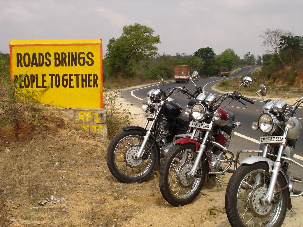
 I moved from Chennai to Bangalore looking for greener pastures, I did indeed find one and was slowly settling down. As a matter of fact when the discussion came on how to move my Bullet from Chennai to Bangalore everyone was unanimous in asking me to put him no a transport vehicle (Truck or Train) and ship it to Bangalore and of course I did not listen to them and rode him all the way. Nope, that’s not what I am going to write about; coz that was a very accustomed trip started off in the morning and reached Bangalore in 5 hours. All who knew me would know I could do that anytime!